30 Meter Resolution International Digital Elevation Models
NEXTMap World 30
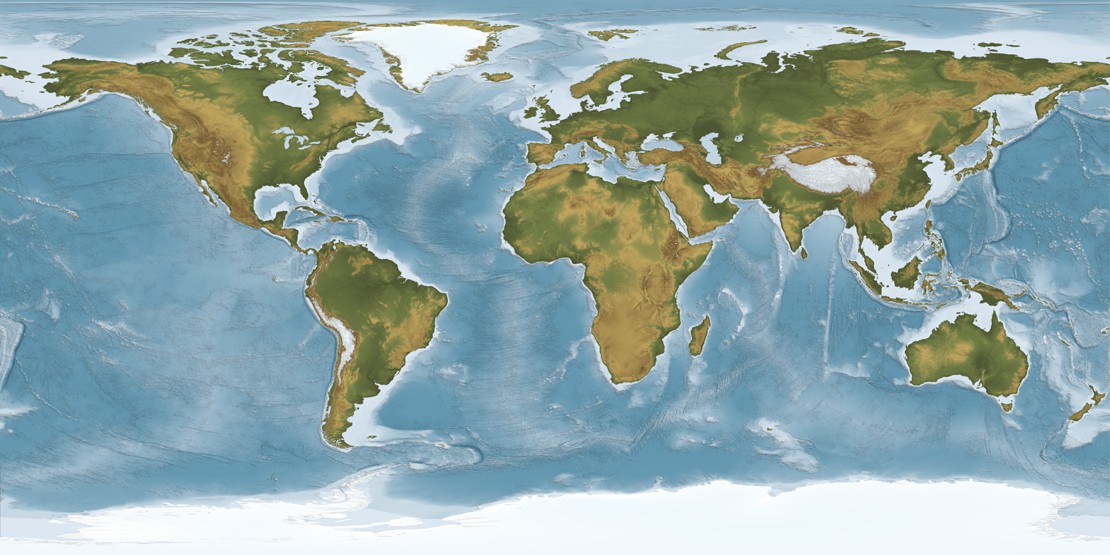
Through a partnership with Intermap Technologies®, DDS is pleased to offer the NEXTMap World 30 Digital Surface Model (DSM). NEXTMap World 30 provides seamless, best available surface elevation data with a 30-meter ground sampling distance (GSD) so you can perform more efficient geospatial analyses. NEXTMap World 30 DSM data is available for the entire globe, covering all of the countries of the world.
NEXTMap World 30 DSM is a combination of 90-meter Shuttle Radar Topographic Mission (SRTM) v2.1 data, 30-meter ASTER Global DEM v2.0, and 1-kilometer GTOPO which has been ground controlled using LiDAR data from NASA’s Ice, Cloud and Land Elevation Satellite (ICESat) collection, resulting in a 25-centimeter root mean square error (RMSE) dataset for vertical control of the DSM. The resulting product is a 30-meter GSD DSM that covers the entire land mass of the planet.