DigitalGlobe Quickbird: High Resolution Satellite Imagery
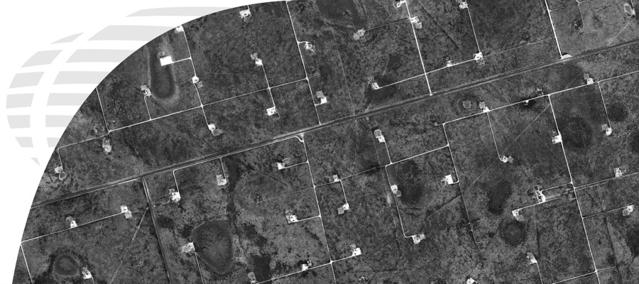
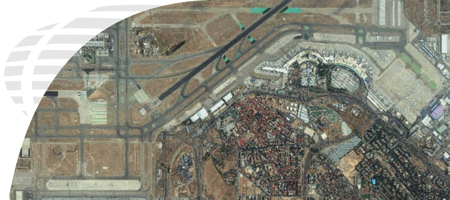
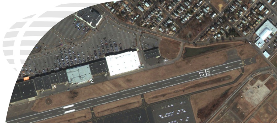
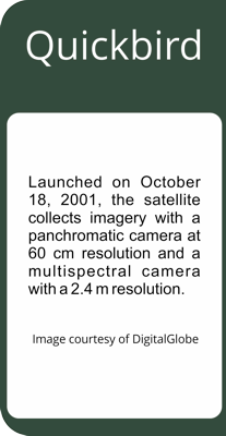
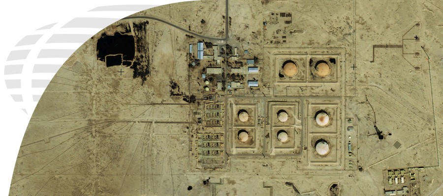
QuickBird was launched on October 18, 2001 from Vandenburg Air Force Base in California. QuickBird collects over 75 million square kilometers of imagery annually.
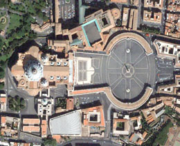
DigitalGlobe has established itself as the world’s most prominent supplier of high-resolution commercial satellite imagery. DigitalGlobe’s constellation of satellites is unprecedented in the commercial imaging industry, enabling commercial and government customers around the globe to access a broad selection of geospatial information products from a single source.
To start your search for available Quickbird imagery, select the "Get a Quote for Data" button.

