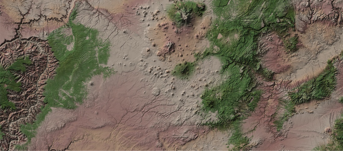

90 Meter Resolution United States Digital Elevation Models
Digital Data Services, Inc. offers 90 meter Digital Elevation Models, a compilation of data from a variety of existing high-precision datasets such as LiDAR data, contour maps, and other sources which were reorganized and combined into a seamless dataset. This 90 meter dataset is perfect for generating shaded relief maps or performing elevation analysis on a wide coverage area.
The 90 meter DEM product covers all of the United States and can be ordered in state bundles, mosaics clipped to the state boundary, or by the entire United States.