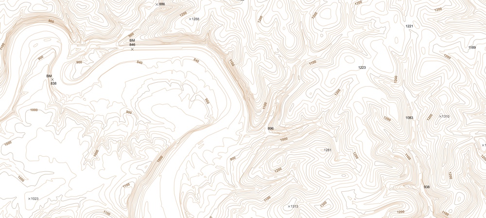
Vector Contour Maps
The ability to analyze and map out vector contour data is important in any industry that deals with spatial information. Vector contour data allows for easy analysis of terrain data for planning, project siting, infrastructure design, and geologic interpretation and analysis.
If you are looking for vector contour information, DDS, Inc. can provide a fully-editable, contour map of any area in the world. The resulting file contains "z-values" (elevation values) retained as continuous polylines, and the client may specify contour intervals.
- Suitable for all CAD and GIS packages including Petra, GeoGraphix, and Esri
- GIS data is attributed by elevation value and type (index, intermediate).
- All "z-values" (elevation values) are retained in the polyline
- For AutoCAD or .dxf files, the file is layered by major and minor contours and intermediate contours
- All lines are continuous polylines (i.e., no broken lines)
- For large areas, data is tiled and the resulting adjacent maps are edgematched